Precision Air Imaging
Professional Aviation and Drone Services
A Division of InnovateIT.io
Precision Air Imaging
Professional Aviation and Drone Services
Welcome to our drone service operation! We specialize in providing high-quality aerial solutions for a variety of industries, including agriculture, construction, real estate, and more. Our team of experienced pilots and advanced drone technology ensures efficient and accurate data collection, mapping, inspection, and surveying. Whether you need to monitor crops, inspect buildings, or capture stunning aerial footage, we have the expertise to deliver results. Contact us today to learn how our drone services can benefit your business.
Insured and FAA Certified pilots
Our Fleet

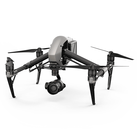
Inspire 2
Up to 27 mins flight
58 mph max speed
Up to 7km control range
1080P live view
CineCore 2.1 image processing system

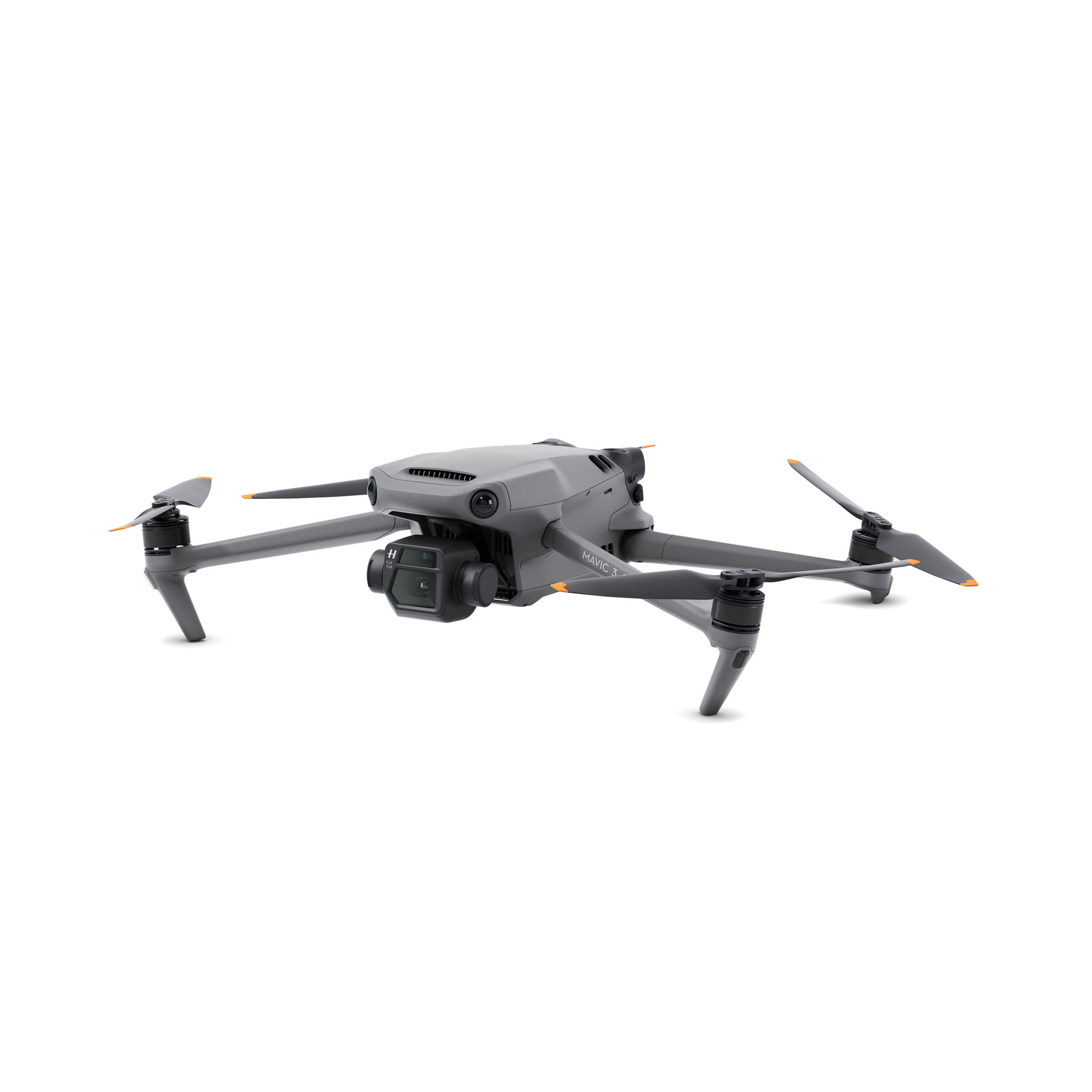
Mavic 3 Cine
Up to 46 mins flight
46 mph max speed
Up to 30 km range
1080P live view
CineCore 2.1 image processing system

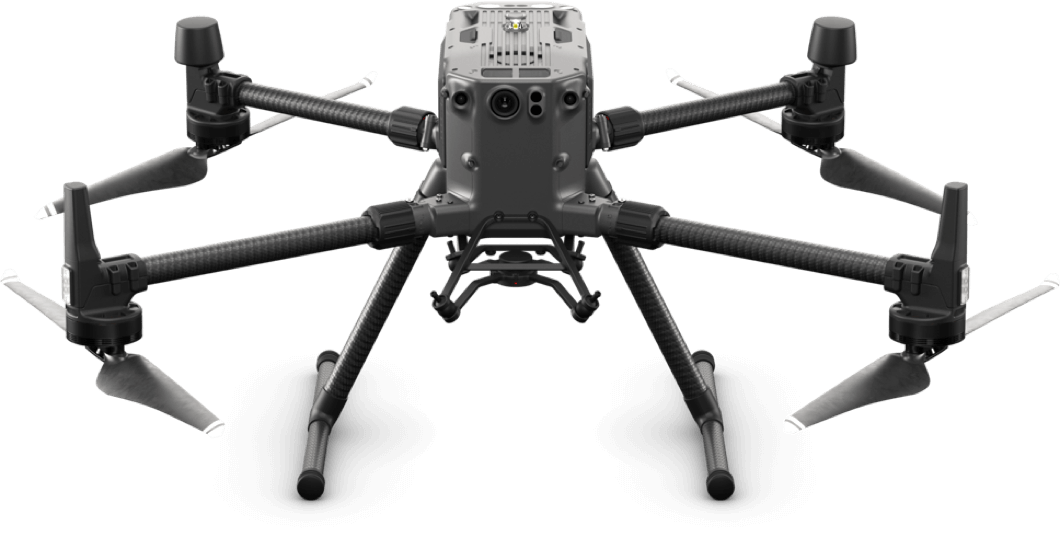
Matrice 300 RTK
15 km Max Transmission
55-min
Max Flight Time
IP45 Rating
Smart Inspection
Smart Pin & Track
Primary Flight Display

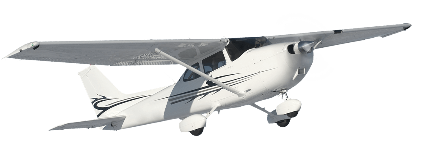
Cessna C182
Avionics:
Garmin G1000
Engine: IO-540-AB1A5
Piston
Power:
230HP
MCS: 150 knots
RoC:
924 feet/m
Aerial Photography


HD Still and Video Imagery
Aerial photography piques the audience’s curiosity and excitement, which encourages them to take action—book more luxury residences or take vacations. a superior fan encounter. faster and more productive inspections. The expansive aerial view point will undoubtedly astound and spur action.
Aerial still and video photography in stunning HD can be used for TV shows, movies, athletic events, and brand promotion.


Thermal / Infrared (Multispectral) Imaging
Everything that is warmer than absolute zero radiates infrared energy. A thermal imaging camera takes advantage of this to reveal temperature differences that would otherwise go undetected, giving visual information about the surroundings even when there is no light.
Aerial thermal imaging is a potent instrument with multiple uses that gives safety workers the vital information they need to battle ongoing wildfires. It is used to find energy or water leaks in building environments.
Via soil analysis, weed outbreak localization, and crop consistency assessment, thermal or near-infrared aerial imaging is utilized in precision agriculture to increase crop output.


Topographical Imagery
Drones with LiDAR capabilities are yet another effective tool for mapping land features or aquatic bodies, providing scientists and surveyors with a major advantage through accurate topographical imagery.
Topographic photography has a variety of uses, including providing information for emergency response systems that use geographic information systems. Drone technology is also used by contractors in the civil engineering field to help land development projects at a tenth of the cost of manned aircraft.
Why Precision Air Imaging?
Go where no man has gone before!
Drones save businesses time and capital and increase operational efficiency in both the private and public sectors, which has led to an increase in the number of businesses with in-house drone programs. Precision Air Imaging is prepared to assist you whether you are just beginning to plan your drone program or are ready to scale to a national level. Our consultants will collaborate with you to develop a comprehensive, step-by-step plan for the successful implementation of a drone program across your organization.
